Drone Flight
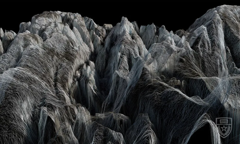
The story of a historic site can best be told at varying scales and levels of detail within the point cloud itself. This offers the opportunity to analyze each part of the site, and visualize the 3D model through point cloud, wireframe, shaded and rendered views. 3D laser scans and photogrammetry allow us to develop a free-standing model of underground interior spaces, which would otherwise not be seen. This can provide a whole new insight on a historic site, provide clues as to what might be missing, and what might need to be further investigated. In the last decade, point cloud datasets, created using various technologies, have revolutionized the way we document in three dimensions. An added benefit of this process happens to be a bi-product of the technology itself - extraordinary images that would have previously been impossible to create. Drone operation requires clear weather conditions. In the event of inclement weather, this demonstration will be rescheduled for Saturday, March 6 at 2pm.

Resources
Image gallery